A.T. Drone Services
ATDS specializes in two wildly different sectors: Architect, Engineer, and Contractor (AEC) building projects and Plant Health Care (PHC) assessments and monitoring.
Our mission is to empower customers by utilizing cutting-edge Terrestrial and drone technology so they can make informed decisions quickly while maintaining cost efficiency. With our commitment to excellence, we strive towards a vision where managing data acquisition processes are seamless across industries— allowing us to create real impact for everyone involved!
The Tech We Use
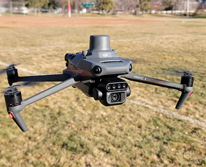
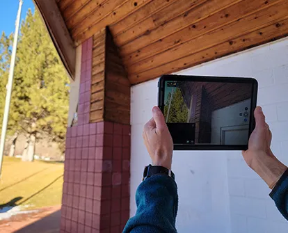
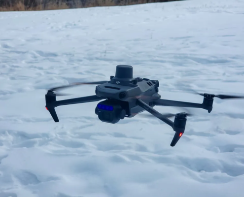
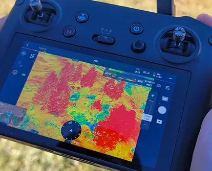
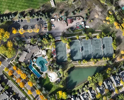
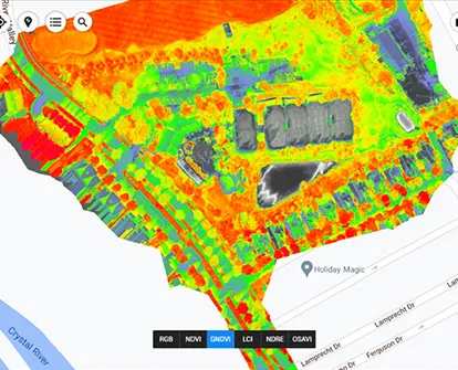
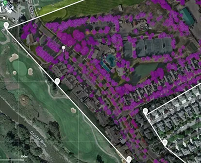
We use the latest commercial-grade Terrestrial and drone scanning equipment to capture data in the field. On certain projects, we will set ground control with an GNSS receiver to geolocate our project and ensure we achieve the best data accuracy as possible.
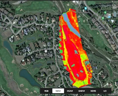
Once in the office, we utilize a combination of software packages to process our field data. All of the computer processing is done on our purpose-built desktop computer. This ensures we can crunch the vast amounts of data in a time-efficient manner and pass that time/cost efficiency to our clients.
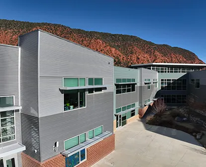
The combination of a drone and land-based terrestrial scanner allows us to capture an entire structure and provide our client with a highly detailed complete model.