Drone Services & 3D Laser Scanning
Services Throughout Western Colorado
Welcome to A.T. Drone Services, your go-to source for exceptional drone services and laser scanning in Western Colorado! With over 20 years of experience in the engineering industry, Nathan has mastered the art of using cutting-edge technology to capture precise, real-world information. Whether you’re in the AEC or Forestry industries, our innovative solutions are designed to elevate your projects to new heights. Are you ready to experience unparalleled accuracy and efficiency? Explore our services today and see how we can help bring your vision to life.
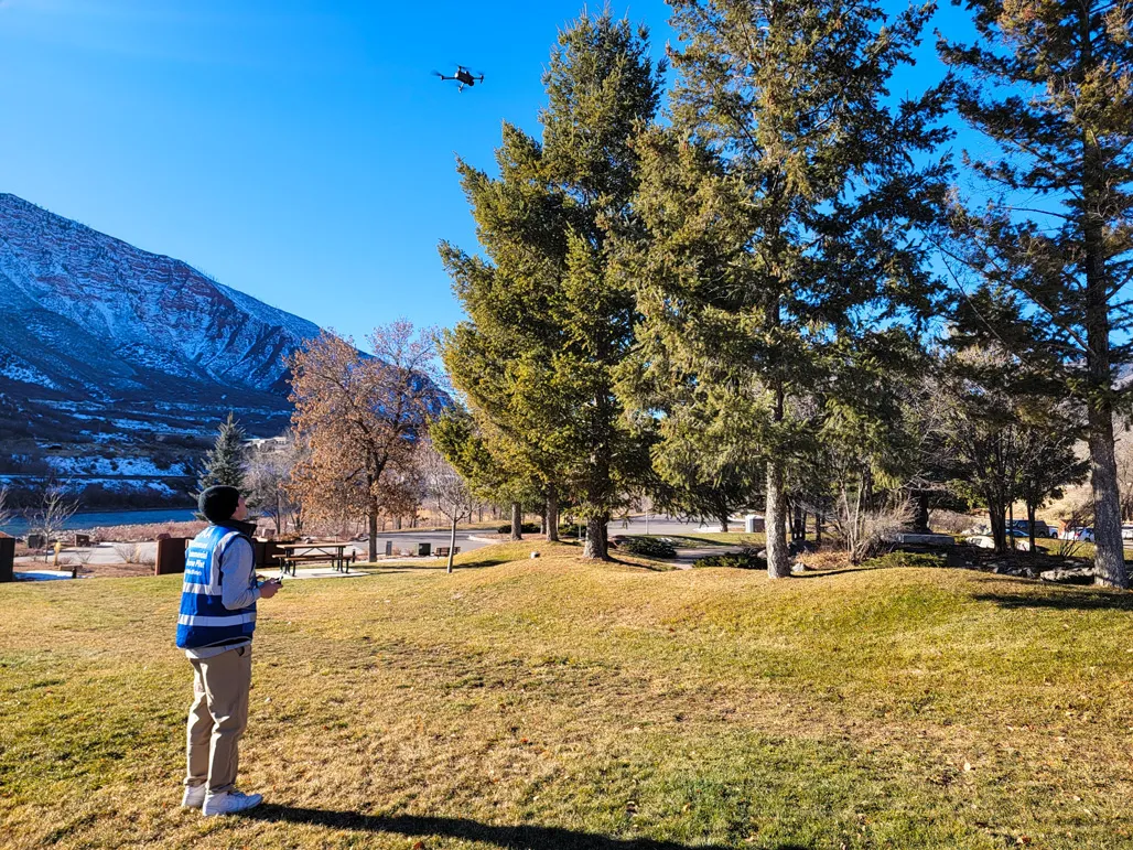
We are based in Glenwood Springs and co-owned by Nathan & Aiden Torres. Nathan is a FAA licensed drone pilot, the owner of a structural engineering firm and a licensed professional engineer in Colorado, Florida, Louisiana, Texas, Idaho and Utah. Aiden is also a FAA licensed drone pilot and attending Colorado Mesa University. He’s currently earning a technical certification in Revit modeling as well as studying Entrepreneurial Business. Aiden is an ace drone operator that works side-by-side with Nathan on all projects.
Learn more about us and why you should choose A.T. Drone Services.
Fully Licensed & Insured

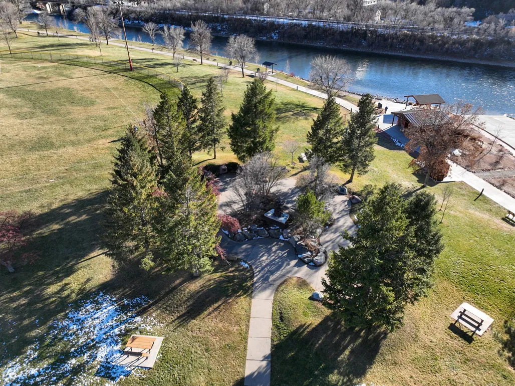
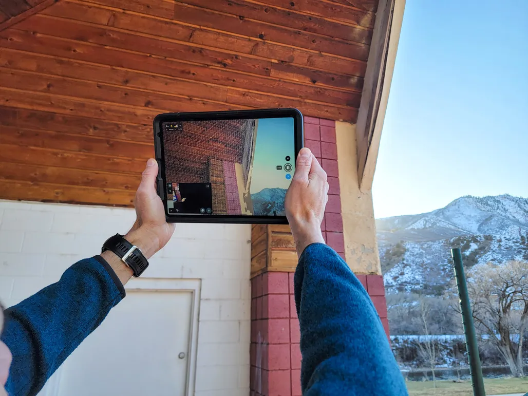
Traditional methods involving manual on-site measurements are time consuming, prone to human error and inefficiencies. A.T. Drone Services utilizes the latest drone & terrestrial laser scanning equipment to capture high-resolution images and point clouds creating accurate “Digital Double” models of our projects. We can provide our clients with both interior and exterior models. This 21st-century approach eliminates inefficiencies and provides comprehensive data for architectural and engineering projects.
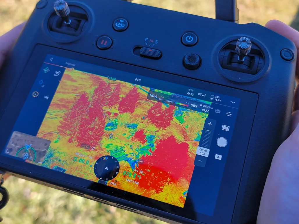
With the use of modern multispectral drone units, a drone can “see” plant health in a wavelength that is not detectable to the human eye. This helps humans to understand the health of the plants by looking at the greenness (chlorophyll content) of the canopy. This may sound like science fiction, but this technology has been around since the 1970’s and used by NASA satellites to look at planet earth and study macro-scale plant and forest regions around the globe. This technology is now available for our use at a local and regional level.
